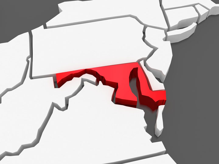
Maryland Area Map
|

Regional Maryland Map Navigation
To zoom in on the regional Maryland map, click or touch the plus (+) button; to zoom out, click or touch the minus (-) button. To display the map in full-screen mode, click or touch the full screen button. (To exit full-screen mode, click or touch the exit [x] button.) To scroll the zoomed-in map, swipe it or drag it in any direction. You may print this map of Maryland and vicinity, or a portion thereof, for personal, non-commercial use. For improved legibility, consider printing the detailed map image on large, ISO size A3 or ANSI size B paper rather than ISO size A4 or ANSI size A paper.

Maryland Map Scale
Copyright © State-Maps.org. All rights reserved.
Maryland-Map.org is a State Maps reference source.
Maryland-Map.org is a State Maps reference source.